February 19
Area:
Big Cottonwood
Location:
Brighton to Twin Lakes to Black Bess to East bowl Silver Fork to West bowl Silver Fork out.
Elevations, slope angles and aspects:
7500’-10’200’, angles to 38°, all aspects.
Avalanche activity:
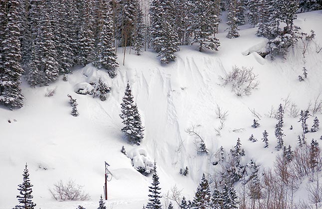
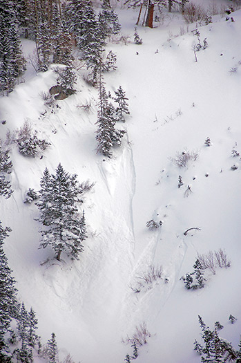
Point releases

and shallow soft slabs. Nothing larger than 15’ wide, running less than 100’vertical.

Slopes skied:
Black Bess, west facing, east bowl of Silver Fork, and west bowl of Silver Fork.
Snow surface and conditions:
16” of new snow rapidly settling to about a foot. Light density, with a couple of density changes from periods of slightly stronger winds overlying a variety of old snow surfaces, mostly crusted. Trail breaking was easy and the old surface was felt on most slopes skied. Ski cutting produced next to nothing.
Weather conditions:
Overcast, with winds from the northwest less than 20 mph. Instability showers at several times during the day, with accumulations of around an inch.
Snow pits:
Did one on a northeast face around 9800’ just south of Twin lakes pass for education purposes. Weakest layer was the interface of Friday’s storm and the old snow surface. Light density under heavier density settled snow. Moderate shear.
Evaluation:
No cracking no collapsing. Snow in the area traveled through was mostly stable other than the previously mentioned pt releases. I’d expect a localized lingering hazard of deeper releases in areas with the most wind load over the weakest and most shallow snow pack. Sun warming would likely produce wet activity.
© wowasatch.com